Building date:
Original use:
Corner structures:
Mortar application and content:
Types and uses of stones:
Types and choice of windows:
Structures with similar masonry details:
Masons who worked on building:
Unique features:
Map views courtesy Google Maps. Address is Google Earth confirmed; 42°55'46.93"N 76°45'23.96"W. Current owner of record, Shuster Peter C LLC as of the 2019 Tax Roll.
Town of Seneca Falls and Seneca County Maps
Cobblestone foundation wall at 1974 Route 89, Seneca Falls. Richard Palmer blog.
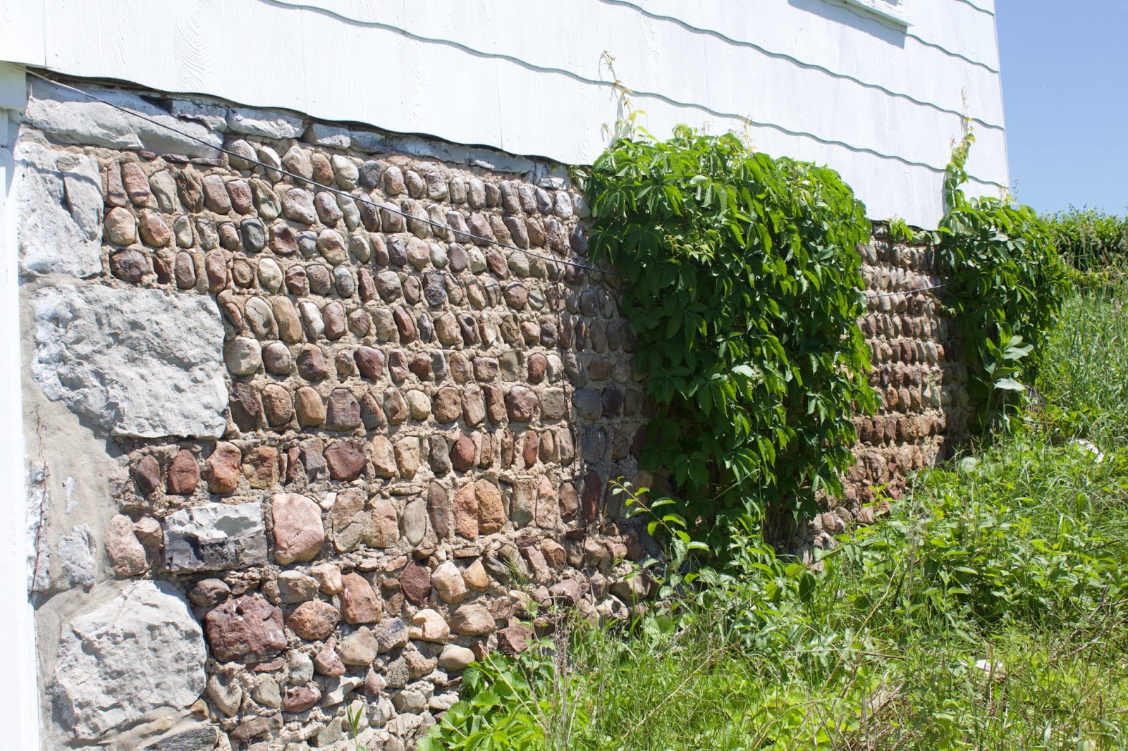 1974 Route 89, Seneca Falls.jpg ¹ |
¹ Photography courtesy Richard Palmer.
